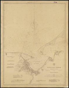
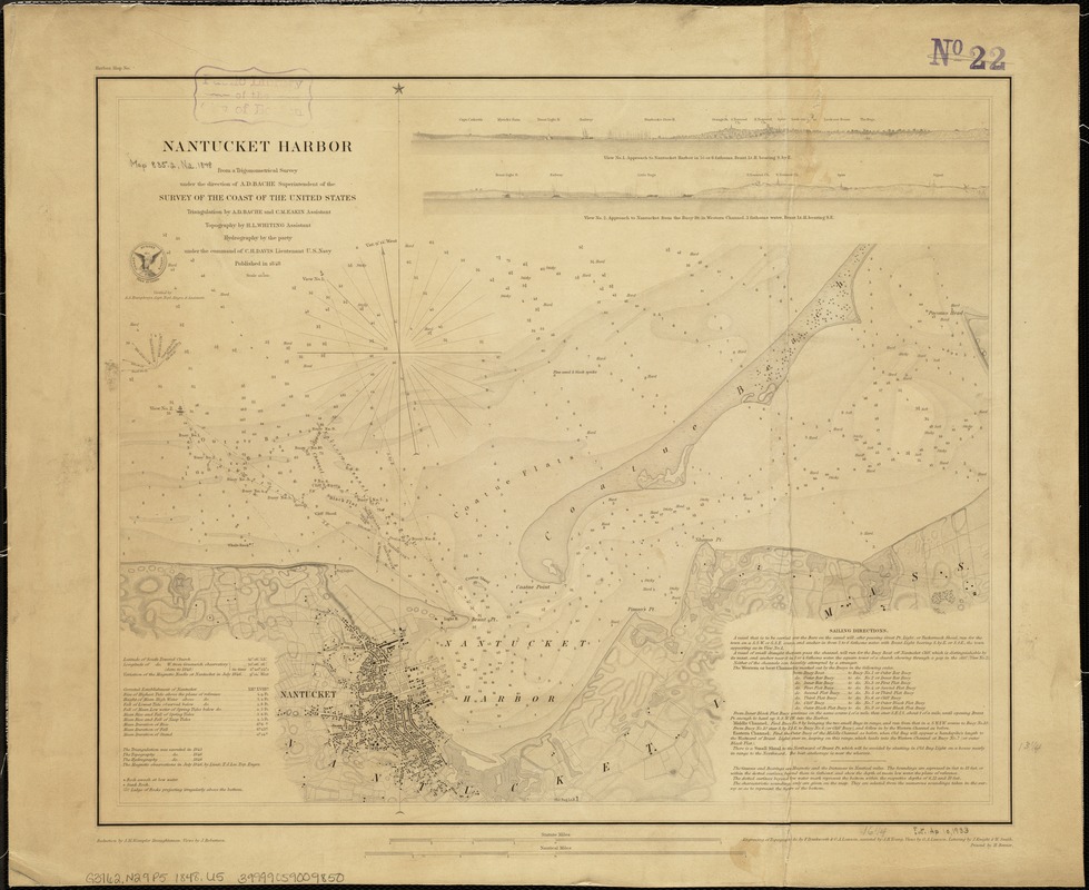
Nantucket Harbor
Item Information
- Title:
- Nantucket Harbor
- Creator:
- United States Coast Survey
- Name on Item:
-
from a trigonometrical survey under the direction of A.D. Bache, superintendent of the Survey of the Coast of the United States.
- Date:
-
1848
- Format:
-
Maps/Atlases
- Location:
-
Boston Public Library
Norman B. Leventhal Map Center - Collection (local):
-
Norman B. Leventhal Map Center Collection
- Subjects:
-
Nautical charts--Massachusetts--Nantucket Harbor
Nantucket Harbor (Mass.)--Maps
- Places:
-
Nantucket (county)Nantucket Island (island)Nantucket Harbor
- Extent:
- 1 map ; 34 x 42 cm.
- Terms of Use:
-
No known copyright restrictions.
No known restrictions on use.
- Publisher:
-
[Washington, D.C.] :
U.S. Coast Survey Office
- Scale:
-
Scale 1:20,000.
- Language:
-
English
- Notes:
-
Shows bottom types, buoys, and lighthouses.
Relief shown by hachures. Depths shown by soundings and shading.
Differs from other 1848 ed. in that it has "Price 15 cents" printed under U.S. Coast Survey seal, does not have text in upper center margin, and has text "printed by H. Benner" printed in lower right margin.
Includes tide information, sailing direction, and 2 coastal views.
In upper left margin: Harbor map no.
- Identifier:
-
06_01_005151
- Call #:
-
G3762.N29P5 1848 .U5
- Barcode:
-
39999059009850