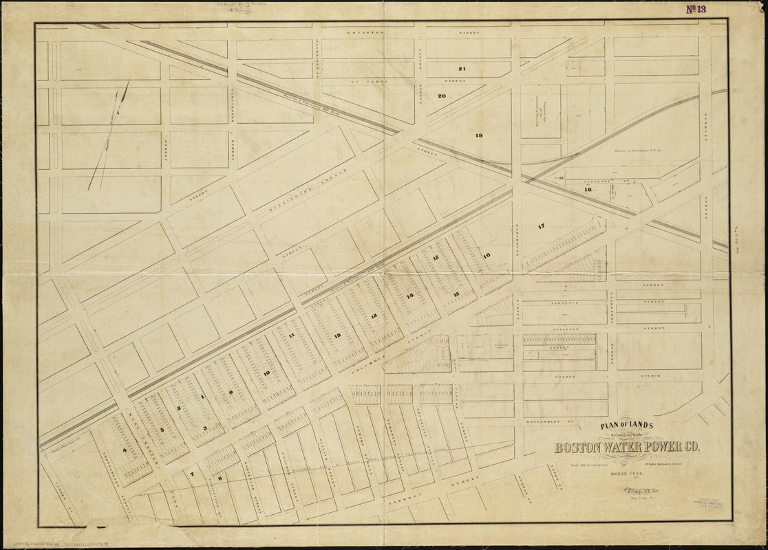
Plan of lands belonging to the Boston Water Power Co
Item Information
- Title:
- Plan of lands belonging to the Boston Water Power Co
- Creator:
- Boston Water Power Company
- Name on Item:
-
J.F. Fuller.
- Date:
-
1866
- Format:
-
Maps/Atlases
- Location:
-
Boston Public Library
Norman B. Leventhal Map Center - Collection (local):
-
Norman B. Leventhal Map Center Collection
- Subjects:
-
Real property--Massachusetts--Boston--South End--Maps
South End (Boston, Mass.)--Maps
Boston (Mass.)--Maps
- Places:
-
MassachusettsSuffolk (county)BostonSouth End
- Extent:
- 1 map ; 82 x 113 cm.
- Terms of Use:
-
No known copyright restrictions.
No known restrictions on use.
- Publisher:
-
Boston :
[s.n.]
- Scale:
-
Scale 1:1,200.
- Language:
-
English
- Notes:
-
Oriented with north toward the upper right.
Lands shown are on Columbus Avenue, Boston.
- Identifier:
-
06_01_005101
- Call #:
-
G3764.B6:2S6G46 1866 .B6
- Barcode:
-
39999059009678


![[Plan of boundary lines in Roxbury and the City of Boston]](https://bpldcassets.blob.core.windows.net/derivatives/images/commonwealth:1257bb127/image_thumbnail_300.jpg)
