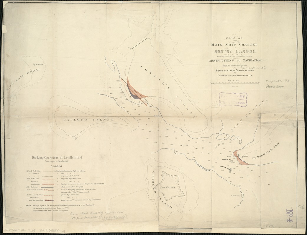
Plan of main ship channel in Boston Harbor showing the work of removing certain obstructions to navigation
Item Information
- Title:
- Plan of main ship channel in Boston Harbor showing the work of removing certain obstructions to navigation
- Name on Item:
-
prepared under the direction of the Board of Harbor Commissioners of the Commonwealth of Massachusetts.
- Date:
-
[1868]
- Format:
-
Maps/Atlases
- Location:
-
Boston Public Library
Norman B. Leventhal Map Center - Collection (local):
-
Norman B. Leventhal Map Center Collection
- Subjects:
-
Harbors--Massachusetts--Boston--Maps
Boston Harbor (Mass.)--Maps
- Places:
-
Boston Harbor
- Extent:
- 1 map : col. ; 44 x 58 cm.
- Terms of Use:
-
No known copyright restrictions.
No known restrictions on use.
- Publisher:
-
Boston :
The Commissioners
- Scale:
-
Scale 1:5,000.
- Language:
-
English
- Notes:
-
Depths shown by soundings.
"Dredging operations at Lovell's Island from August to December 1867."
- Notes (date):
-
This date is inferred.
- Identifier:
-
06_01_005090
- Call #:
-
G3762.B65 1868.2 .P5
- Barcode:
-
39999059009421


