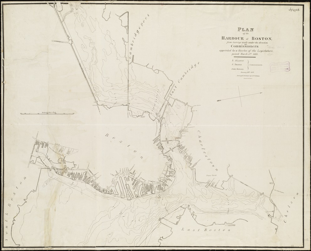
Plan of the harbour of Boston, from surveys made under the direction of commissioners appointed by a resolve of the legislature, passed March 5th 1835
Item Information
- Title:
- Plan of the harbour of Boston, from surveys made under the direction of commissioners appointed by a resolve of the legislature, passed March 5th 1835
- Title (alt.):
-
Report of the Commissioners for the Survey of Boston Harbor
- Creator:
- Perham, Benjamin Franklin, 1806-ca. 1837
- Name on Item:
-
surveyed & drawn by B.F. Perham.
- Date:
-
[1837]
- Format:
-
Maps/Atlases
- Location:
-
Boston Public Library
Norman B. Leventhal Map Center - Collection (local):
-
Norman B. Leventhal Map Center Collection
- Subjects:
-
Harbors--Massachusetts--Boston--Maps
Wharves--Massachusetts--Boston--Maps
Boston Harbor (Mass.)--Maps
Boston (Mass.)--Maps
- Places:
-
Boston Harbor
- Extent:
- 1 map ; 69 x 85 cm.
- Terms of Use:
-
No known copyright restrictions.
No known restrictions on use.
- Publisher:
-
Boston? :
s.n.
- Scale:
-
Scale [1:7,200].
- Language:
-
English
- Notes:
-
Oriented with north toward the upper right.
Covers port facilities of the inner harbor.
"January 28th 1837."
Depths shown by contours.
Originally printed on 2 sheets.
- Notes (date):
-
This date is inferred.
- Identifier:
-
06_01_005008
- Call #:
-
G3762.B65 1837 .P4
- Barcode:
-
39999059009330
- LCCN:
-
91680094


