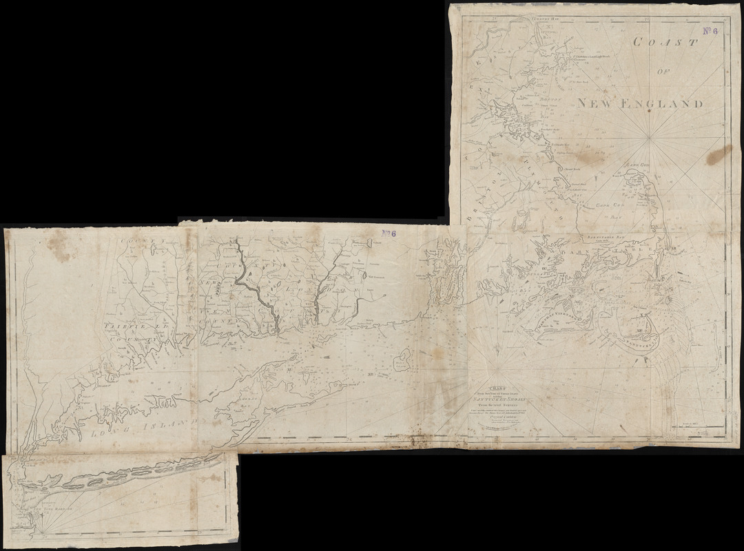
Chart from New York to Timber Island including Nantucket shoals
This map is also available in American Revolutionary Geographies Online (ARGO), a collections portal especially built for material relating to the American Revolutionary War Era. Visit ARGO to learn more about this item and explore the historical geography of North America in the late eighteenth century.
Item Information
- Title:
- Chart from New York to Timber Island including Nantucket shoals
- Cartographer:
- Carleton, Osgood, 1742-1816
- Date:
-
1798
- Format:
-
Maps/Atlases
- Location:
-
Boston Public Library
Norman B. Leventhal Map Center - Collection (local):
-
Norman B. Leventhal Map Center Collection
- Subjects:
-
Atlantic Coast (New England)--Maps--Early works to 1800
Nautical charts--Atlantic Coast (New England)--Early works to 1800
- Places:
-
New England (area)
- Extent:
- 1 map ; 99 x 136 cm
- Terms of Use:
-
No known copyright restrictions.
No known restrictions on use.
- Publisher:
-
Boston :
Printed and sold by William Norman at his office no. 75 Newbury Street
- Scale:
-
Scale not given
- Language:
-
English
- Notes:
-
From The American Pilot of 1798 published by John Norman.
- Identifier:
-
06_01_004941
- Call #:
-
G1106.P5 N6 1798x
- Barcode:
-
39999059007920


