Map of Boston Common and Public Garden
Item Information
- Title:
- Map of Boston Common and Public Garden
- Cover title :
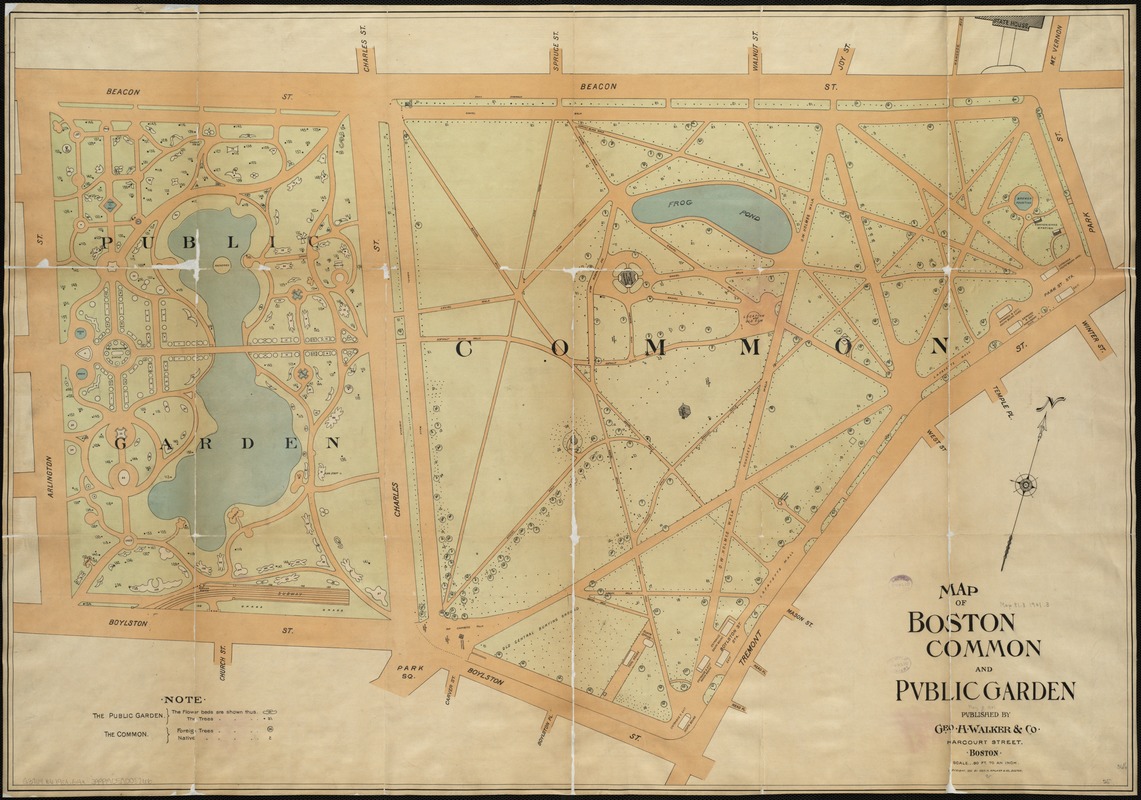
- Map and index of Boston Common and the Public Garden, showing the location and names of the trees and the arrangement of the tulips for 1901
- Description:
-
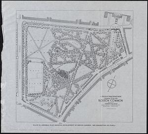
Whereas Boston Common was established on existing dry ground, the Public Garden was created between 1838 and 1860 on made land upon what was originally a salt marsh. Designed by George Meacham in response to New York’s Central Park, the Garden features undulating pathways arranged to encourage leisurely strolls among the exotic plant life. As superintendent of Boston’s Common and Public Grounds, William Doogue envisioned America’s first public botanical park as “a pleasure ground to the mass of God’s people, without any distinction as to race, color, or condition.” This map includes the names and locations of the trees and lays out the arrangement of the tulips.
- Creator:
- Geo. H. Walker & Co
- Date:
-
[ca. 1901]
- Format:
-
Maps/Atlases
- Location:
-
Boston Public Library
Norman B. Leventhal Map Center - Collection (local):
-
Norman B. Leventhal Map Center Collection
- Subjects:
-
Boston Common (Boston, Mass.)--Maps
Public Garden (Boston, Mass.)--Maps
Boston (Mass.)--Maps
- Places:
-
Suffolk (county)BostonBoston Common (park)
Suffolk (county)BostonPublic Garden (park)
- Extent:
- 1 map : col. ; 64 x 92 cm. + index (12 p. ; 18 cm.)
- Terms of Use:
-
No known copyright restrictions.
No known restrictions on use.
- Publisher:
-
Boston :
Geo. H. Walker & Co.
- Scale:
-
Scale 1:960.
- Language:
-
English
- Notes:
-
Oriented with north toward the upper right.
- Notes (exhibitions):
-
Exhibited: "Breathing Room: Mapping Boston's Green Spaces" organized by the Norman B. Leventhal Map Center at the Boston Public Library, 2018.
- Identifier:
-
06_01_004862
- Call #:
-
G3764.B6 1901 .G4x
- Barcode:
-
39999059008266
39999065666511