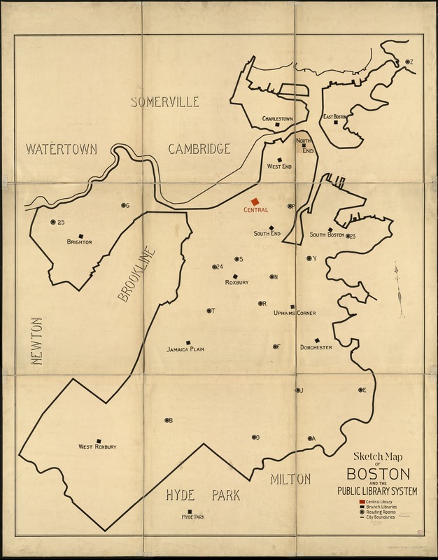
Sketch map of Boston and the Public Library system
Item Information
- Title:
- Sketch map of Boston and the Public Library system
- Creator:
- Boston Public Library
- Date:
-
[1908]
- Format:
-
Maps/Atlases
Manuscripts
- Location:
-
Boston Public Library
Norman B. Leventhal Map Center - Collection (local):
-
Norman B. Leventhal Map Center Collection
- Subjects:
-
Boston Public Library
Libraries--Massachusetts--Boston--Maps
Boston (Mass.)--Maps
- Places:
-
Suffolk (county)Boston
Boston Public Library
- Extent:
- 1 ms. map : col. ; 180 x 147 cm.
- Terms of Use:
-
No known copyright restrictions.
No known restrictions on use.
- Scale:
-
Scale not given.
- Language:
-
English
- Notes:
-
Manuscript map.
Oriented with north toward the upper left.
Shows location of Central Library, branches, and reading rooms throughout the city.
- Notes (date):
-
This date is inferred.
- Identifier:
-
06_01_004850
- Call #:
-
G3764.B6E67 1908 .B67x
- Barcode:
-
39999059008175


