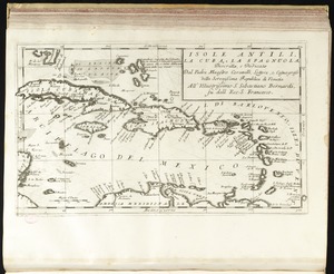
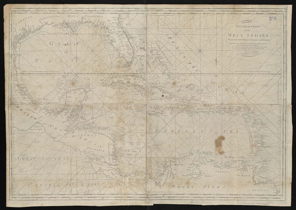
A new general chart of the West Indies from the latest marine journals and srveys regulated and ascertained by astronomical observations
This map is also available in American Revolutionary Geographies Online (ARGO), a collections portal especially built for material relating to the American Revolutionary War Era. Visit ARGO to learn more about this item and explore the historical geography of North America in the late eighteenth century.
Item Information
- Title:
- A new general chart of the West Indies from the latest marine journals and srveys regulated and ascertained by astronomical observations
- Creator:
- Norman, John, 1748?-1817
- Cartographer:
- Norman, John, 1748?-1817
- Publisher:
- Norman, William, -1807
- Date:
-
[1798]
- Format:
-
Maps/Atlases
- Location:
-
Boston Public Library
Norman B. Leventhal Map Center - Collection (local):
-
Norman B. Leventhal Map Center Collection
- Subjects:
-
Coasts--Central America--Maps--Early works to 1800
Coasts--Southern States--Maps--Early works to 1800
Nautical charts--West Indies--Maps--Early works to 1800
West Indies--Maps--Early works to 1800
- Places:
-
Mesoamerica (area)
Southern United States (area)
West Indies
- Extent:
- 1 map ; 65 x 96 cm
- Terms of Use:
-
No known copyright restrictions.
No known restrictions on use.
- Publisher:
-
[Boston] :
W. Norman
- Scale:
-
Scale approximately 1:4,150,000
- Language:
-
English
- Notes:
-
Depths shown by soundings.
Prime meridians: London, Kingston and Ferro.
Includes certification of accuracy from Osgood Carleton.
In Norman's The American pilot. Boston : William Norman, 1798.
- Notes (date):
-
This date is inferred.
- Identifier:
-
06_01_004839
- Call #:
-
G1106.P5 N6 1798x
- Barcode:
-
30000005069237