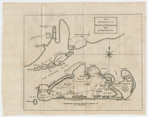
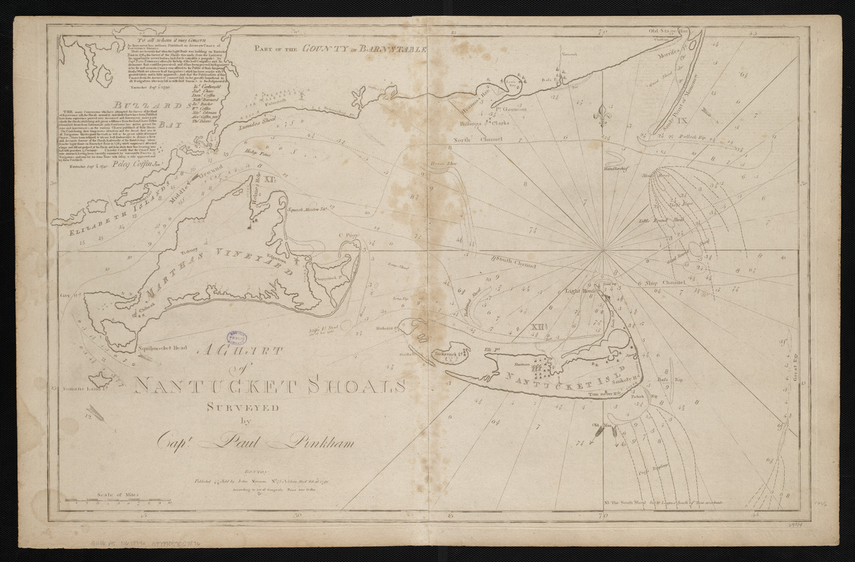
A chart of Nantucket Shoals
Item Information
- Title:
- A chart of Nantucket Shoals
- Creator:
- Pinkham, Paul, 1736-1799
- Cartographer:
- Pinkham, Paul, 1736-1799
- Publisher:
- Norman, John, 1748?-1817
- Name on Item:
-
surveyed by Capt. Paul Pinkham
- Date:
-
[1794]
- Format:
-
Maps/Atlases
- Location:
-
Boston Public Library
Norman B. Leventhal Map Center - Collection (local):
-
Norman B. Leventhal Map Center Collection
- Subjects:
-
Nautical charts--Massachusetts--Nantucket Shoals--Early works to 1800
Nautical charts--Massachusetts--Nantucket Sound--Early works to 1800
Martha's Vineyard (Mass.)--Maps--Early works to 1800
Nantucket Island (Mass.)--Maps--Early works to 1800
Nantucket Shoals (Mass.)--Maps--Early works to 1800
Nantucket Sound(Mass.)--Maps--Early works to 1800
- Places:
-
Dukes (county)Nantucket Sound (bay)
Nantucket (county)Nantucket Island (island)
Nantucket (county)Nantucket Shoals (area)
- Extent:
- 1 map ; 50 x 77 cm
- Terms of Use:
-
No known copyright restrictions.
No known restrictions on use.
- Publisher:
-
[Boston] :
John Norman
- Scale:
-
Scale approximately 1:150,000
- Language:
-
English
- Notes:
-
Depths shown by soundings.
Two certificates in upper left, signed by Peleg Coffin and by nine navigators and dated Sept. 1st, 1790.
In John Norman's American pilot. Boston : John Norman, 1794.
- Notes (date):
-
This date is inferred.
- Identifier:
-
06_01_004800
- Call #:
-
G1106.P5 N6 1794x
- Barcode:
-
30000005058346

![[Chart of Nantucket Island and the eastern half of Martha's Vineyard]](https://bpldcassets.blob.core.windows.net/derivatives/images/commonwealth:7h149z54k/image_thumbnail_300.jpg)