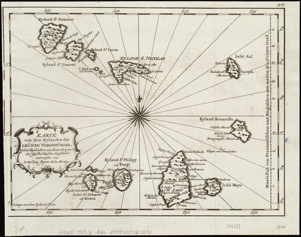
Karte von den Eylanden des Grünen Vorgebürges, nach den Tagebüchern und Anmerkungen der geschicktesten Seefahrer
Item Information
- Title:
- Karte von den Eylanden des Grünen Vorgebürges, nach den Tagebüchern und Anmerkungen der geschicktesten Seefahrer
- Creator:
- Bellin, Jacques Nicolas, 1703-1772
- Name on Item:
-
entworfen von N. Bellin.
- Date:
-
[1747]
- Format:
-
Maps/Atlases
- Location:
-
Boston Public Library
Norman B. Leventhal Map Center - Collection (local):
-
Norman B. Leventhal Map Center Collection
- Subjects:
-
Cape Verde--Maps--Early works to 1800
- Places:
-
Cape Verde
- Extent:
- 1 map ; 20 x 27 cm.
- Terms of Use:
-
No known copyright restrictions.
No known restrictions on use.
- Publisher:
-
S.l :
s.n.
- Scale:
-
Scale [ca. 1:1,600,000].
- Language:
-
German
- Notes:
-
Relief shown pictorially.
Longitude from Ferro.
In upper right margin: No. 7.
- Notes (date):
-
This date is inferred.
- Identifier:
-
06_01_004753
- Call #:
-
G9160 1747.2 .B4x
- Barcode:
-
39999059007391


