Mittel-America und Westindien
Item Information
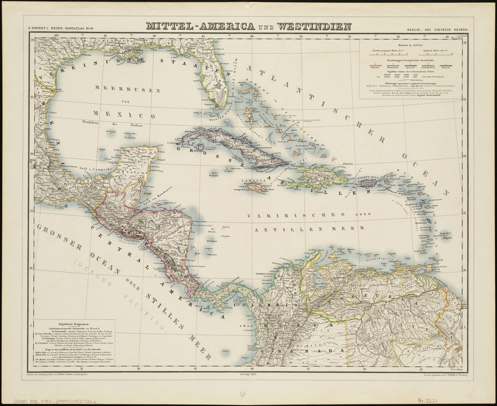
- Title:
- Mittel-America und Westindien
- Title (alt.):
-
Mittel America und Westindien
- Name on Item:
-
situation und schrift gestochen von Friedr. Meier in Nurnberg 1857 ; terrain gestochen von F. Sporer in Nurnberg.
- Date:
-
[1871]
- Format:
-
Maps/Atlases
- Location:
-
Boston Public Library
Norman B. Leventhal Map Center - Collection (local):
-
Norman B. Leventhal Map Center Collection
- Subjects:
-
Central America--Maps
West Indies--Maps
- Places:
-
Mesoamerica (area)
West Indies
- Extent:
- 1 map : col. ; 40 x 52 cm.
- Terms of Use:
-
No known copyright restrictions.
No known restrictions on use.
- Publisher:
-
Berlin :
Dietrich Reimer
- Scale:
-
Scale 1:8,000,000.
- Language:
-
German
- Notes:
-
Relief shown by hachures.
From: H. Kiepert's Neuer Handatlas, map no. 39.
"Berichtigt 1870."
Map originally drawn in 1857, but corrected to 1870.
Longitude west from Ferro.
- Notes (date):
-
This date is inferred.
- Identifier:
-
06_01_004747
- Call #:
-
G4800 1870 .M5x
- Barcode:
-
39999059007326


