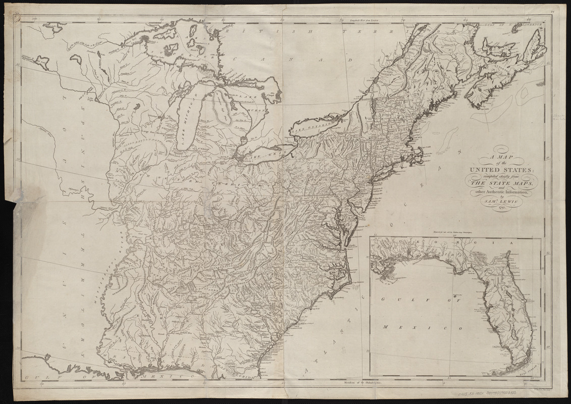
A map of the United States : compiled chiefly from the state maps, and other authentic information
Item Information
- Title:
- A map of the United States : compiled chiefly from the state maps, and other authentic information
- Creator:
- Lewis, Samuel, 1753 or 4-1822
- Cartographer:
- Lewis, Samuel, 1753 or 4-1822
- Publisher:
- Carey, Mathew, 1760-1839
- Name on Item:
-
by Saml. Lewis ; W. Harrison Junr. sculpt.
- Date:
-
[1800]
- Format:
-
Maps/Atlases
- Location:
-
Boston Public Library
Norman B. Leventhal Map Center - Collection (local):
-
Norman B. Leventhal Map Center Collection
- Subjects:
-
United States--Maps
- Places:
-
United States
- Extent:
- 1 map ; 60 x 87 cm
- Terms of Use:
-
No known copyright restrictions.
No known restrictions on use.
- Publisher:
-
[Philadelphia] :
[Mathew Carey]
- Scale:
-
Scale approximately 1:3,650,000
- Language:
-
English
- Notes:
-
Relief shown pictorially.
Prime meridians: Philadelphia and London.
Inset: [Florida Peninsula and Gulf of Mexico].
"Engraved for and sold by Mathew Carey, Philadelphia."
In upper right margin: 24.
Map 24 in his Carey's general atlas. Philadelphia : Mathew Carey, 1800.
- Notes (date):
-
This date is inferred.
- Identifier:
-
06_01_004543
- Call #:
-
G1015 .C3 1800x
- Barcode:
-
30000005056380


