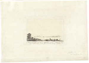
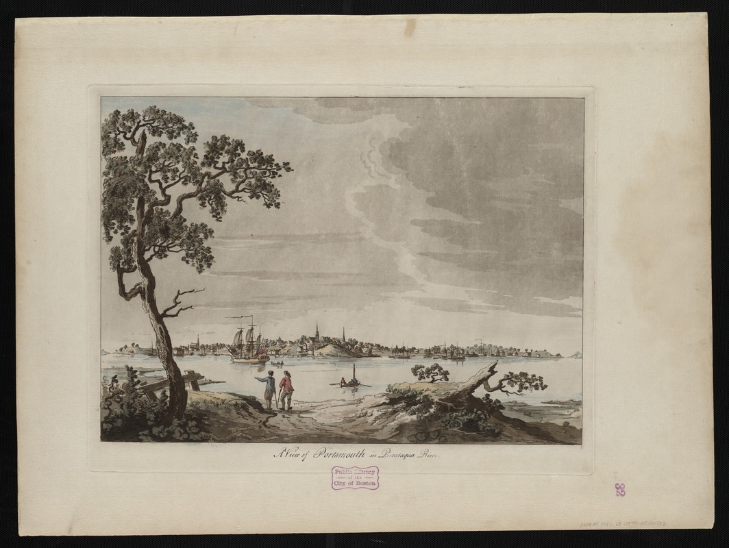
A view of Portsmouth in Piscataqua River
This map is also available in American Revolutionary Geographies Online (ARGO), a collections portal especially built for material relating to the American Revolutionary War Era. Visit ARGO to learn more about this item and explore the historical geography of North America in the late eighteenth century.
Item Information
- Title:
- A view of Portsmouth in Piscataqua River
- Description:
-
The heavily forested areas of New Hampshire contributed to a thriving lumber and shipbuilding business on the Piscataqua River. As seen in this detail view of Portsmouth, N.H., the city grew into a bustling port after the French and Indian War, and was a key supplier to the mast trade and the shipbuilding industry on the eastern seaboard. The town also exported fish and other provisions to sugar plantations in the Caribbean. Samuel Holland, Surveyor General for the Northern District, relocated from Québec to Portsmouth in 1770 to begin the survey of New England, a task that would take the next five years to complete.
- Creator:
- Des Barres, Joseph F. W. (Joseph Frederick Wallet), 1722-1824
- Date:
-
[1780?]
- Format:
-
Maps/Atlases
- Location:
-
Boston Public Library
Norman B. Leventhal Map Center - Collection (local):
-
Norman B. Leventhal Map Center Collection
- Subjects:
-
New Hampshire--History--Revolution, 1775-1783--Pictorial works--Early works to 1800
Portsmouth (N.H.)--Pictorial works--Early works to 1800
- Places:
-
Rockingham (county)Portsmouth
- Extent:
- 1 view : hand col. ; 42 x 57 cm.
- Terms of Use:
-
No known copyright restrictions.
No known restrictions on use.
- Publisher:
-
[London] :
J.F.W. Des Barres
- Scale:
-
Not drawn to scale.
- Language:
-
English
- Notes:
-
Aquatint with etching.
Title in manuscript.
Depicts two figures standing on the banks of the river in the foreground; the figure on the left is pointing with his left arm.
From the author's Atlantic Neptune.
Variant of number 479 in Donald H. Cresswell's The American Revolution in drawings and prints.
- Notes (exhibitions):
-
Exhibited: "Charting an Empire: The Atlantic Neptune" organized by the Norman B. Leventhal Map Center at the Boston Public Library, 2013.
- Identifier:
-
06_01_004518
- Call #:
-
G1106.P5 D47 1781
- Barcode:
-
30000003818471
![[View of Portsmouth, N.H.]](https://bpldcassets.blob.core.windows.net/derivatives/images/commonwealth:dz010v19c/image_thumbnail_300.jpg)