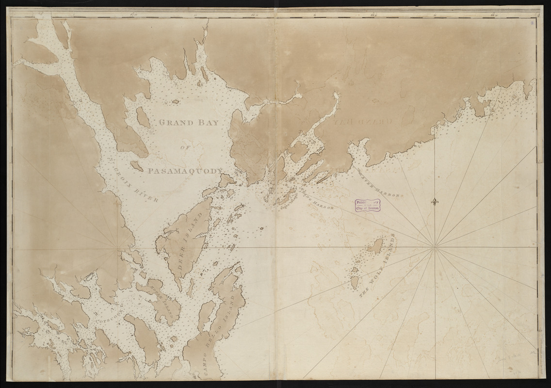
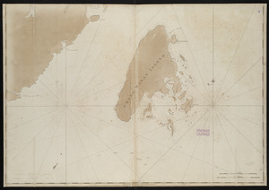
Chart of Passamaquoddy Bay and Grand Manan Island, New Brunswick

Item Information
- Title:
- Chart of Passamaquoddy Bay and Grand Manan Island, New Brunswick
- Cartographer:
- Des Barres, Joseph F. W. (Joseph Frederick Wallet), 1729-1824
- Date:
-
[1770–1779]
- Format:
-
Maps/Atlases
- Location:
-
Boston Public Library
Norman B. Leventhal Map Center - Collection (local):
-
Norman B. Leventhal Map Center Collection
- Subjects:
-
Nautical charts--Passamaquoddy Bay (N.B. and Me.)--Early works to 1800
Nautical charts--New Brunswick--Grand Manan Island--Early works to 1800
Passamaquoddy Bay (N.B. and Me.)--Maps--Early works to 1800
Grand Manan Island (N.B.)--Maps--Early works to 1800
- Places:
-
CanadaProvince of New Brunswick (province)Grand Manan (island)
New England (area)
Passamaquoddy (bay)
- Extent:
- 1 map on 2 sheets : hand col. ; 150 x 115 cm., sheets 82 x 123 cm.
- Terms of Use:
-
No known copyright restrictions.
No known restrictions on use.
- Publisher:
-
[London] :
J.F.W. Des Barres
- Scale:
-
Scale [ca. 1:48,300]
- Language:
-
English
- Notes:
-
Depths shown by soundings.
From the author's Atlantic Neptune.
- Notes (date):
-
This date is inferred.
- Notes (citation):
-
Hornsby, Stephen J. Surveyor of Empire, p. 223, nos. 115-116
- Identifier:
-
06_01_004468
06_01_004469
- Call #:
-
G1106.P5 D47 1781
- Barcode:
-
30000003814308


