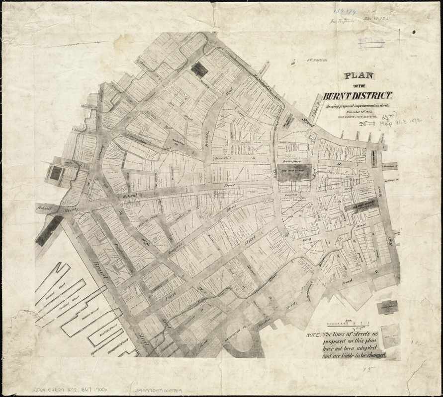
Plan of the burnt district : showing proposed improvements in streets. Nov. 12th 1872
Item Information
- Title:
- Plan of the burnt district : showing proposed improvements in streets. Nov. 12th 1872
- Creator:
- Davis, Thomas W., surveyor
- Name on Item:
-
Thos. W. Davis, city surveyor.
- Date:
-
[1900–1999]
- Format:
-
Maps/Atlases
- Location:
-
Boston Public Library
Norman B. Leventhal Map Center - Collection (local):
-
Norman B. Leventhal Map Center Collection
- Subjects:
-
Great Fire, Boston, Mass., 1872--Maps
Boston (Mass.)--Maps
- Places:
-
Suffolk (county)Boston
- Extent:
- 1 map ; 34 x 38 cm.
- Terms of Use:
-
No known copyright restrictions.
No known restrictions on use.
- Publisher:
-
Boston :
s.n.
- Scale:
-
Scale [ca. 1:2,214].
- Language:
-
English
- Notes:
-
Facsimile reproduction.
Oriented with north toward the upper right.
Original version: Boston, 1872.
- Notes (date):
-
This date is inferred.
- Identifier:
-
06_01_004240
- Call #:
-
G3764.B6E29 1872 .B67 1900x
- Barcode:
-
39999059005189


