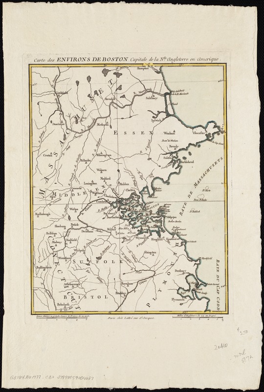
Carte des environs de Boston, capitale de la Nlle. Angleterre en Amerique
This map is also available in American Revolutionary Geographies Online (ARGO), a collections portal especially built for material relating to the American Revolutionary War Era. Visit ARGO to learn more about this item and explore the historical geography of North America in the late eighteenth century.
Item Information
- Title:
- Carte des environs de Boston, capitale de la Nlle. Angleterre en Amerique
- Date:
-
[1777?]
- Format:
-
Maps/Atlases
- Location:
-
Boston Public Library
Norman B. Leventhal Map Center - Collection (local):
-
Norman B. Leventhal Map Center Collection
- Subjects:
-
Massachusetts--Maps--Early works to 1800
Boston (Mass.)--Maps--Early works to 1800
Boston Harbor (Mass.)--Maps--Early works to 1800
- Places:
-
Boston Harbor
Suffolk (county)Boston
- Extent:
- 1 map : col. ; 30 x 23 cm.
- Terms of Use:
-
No known copyright restrictions.
No known restrictions on use.
- Publisher:
-
Paris :
Lattré
- Scale:
-
Scale [ca. 1:455,000]
- Language:
-
French
English
- Identifier:
-
06_01_004173
- Call #:
-
G3764.B6 1777 .C3x
- Barcode:
-
39999059004687


