West Indies, Virgin Islands, St. Thomas
Item Information
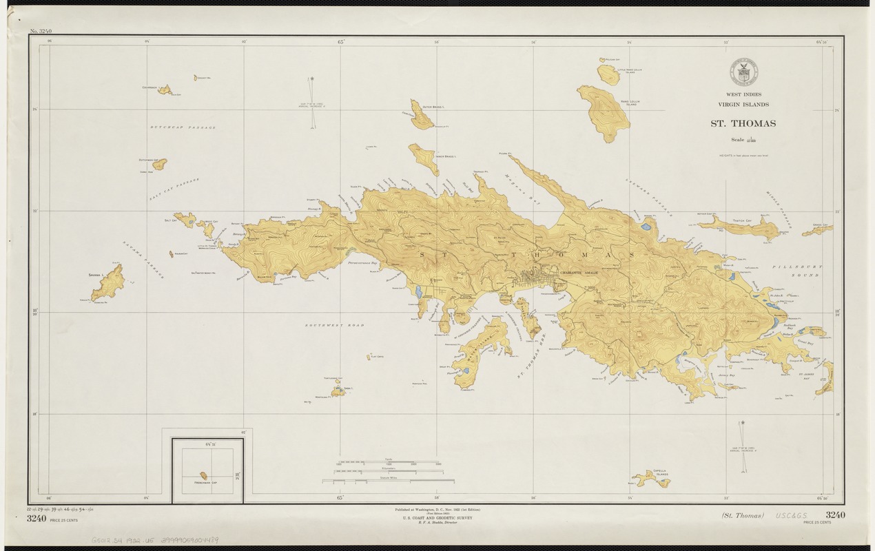
- Title:
- West Indies, Virgin Islands, St. Thomas
- Title (alt.):
-
St. Thomas
- Creator:
- U.S. Coast and Geodetic Survey
- Date:
-
1922
- Format:
-
Maps/Atlases
- Location:
-
Boston Public Library
Norman B. Leventhal Map Center - Collection (local):
-
Norman B. Leventhal Map Center Collection
- Subjects:
-
Saint Thomas (V.I.)--Maps, Topographic
- Places:
-
Saint Thomas (island)
- Extent:
- 1 map : col. ; 41 x 73 cm.
- Terms of Use:
-
No known copyright restrictions.
No known restrictions on use.
- Publisher:
-
Washington, D.C :
U.S. Coast and Geodetic Survey
- Edition:
- 1st ed. 1922
- Scale:
-
Scale 1:40,000.
- Language:
-
English
- Notes:
-
Relief shown by contours and spot heights.
Includes inset map of Frenchman Cap.
- Identifier:
-
06_01_004158
- Call #:
-
G5012.S4 1922 .U5
- Barcode:
-
39999059004489


