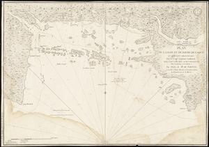
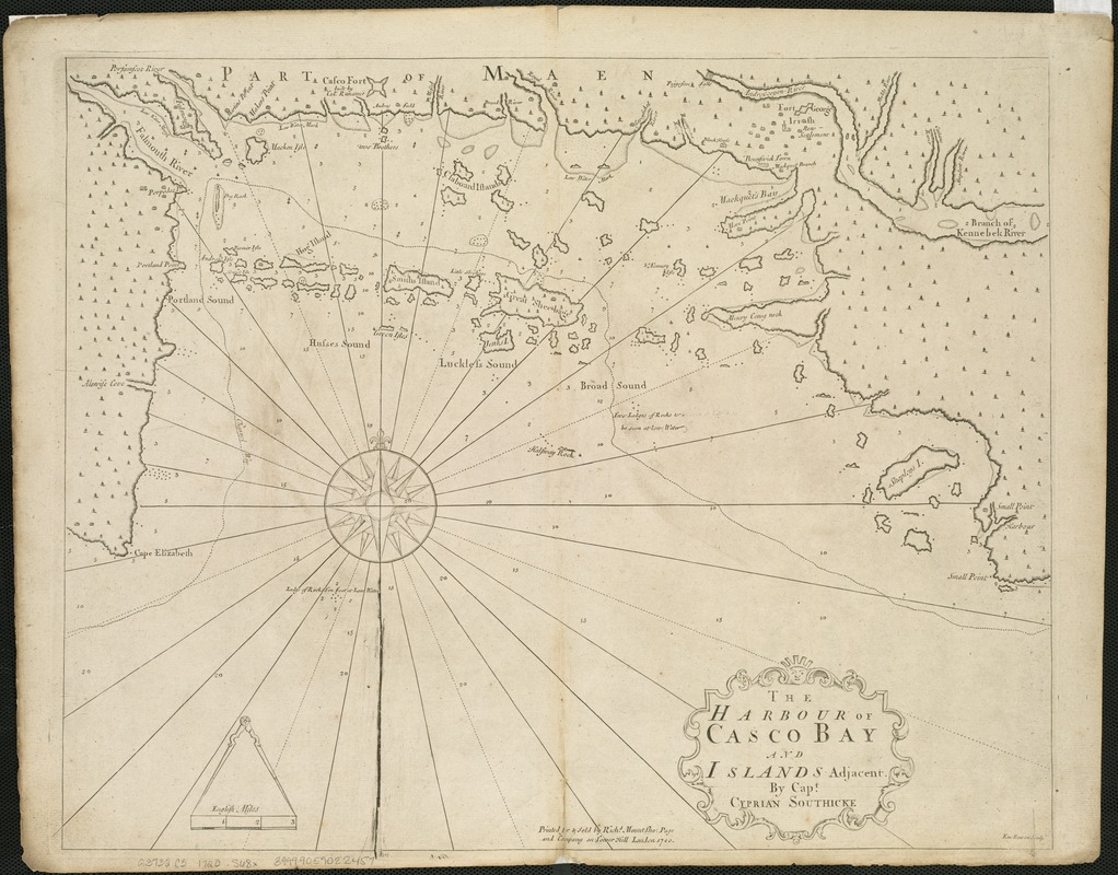
The harbour of Casco Bay and islands adjacent
Item Information
- Title:
- The harbour of Casco Bay and islands adjacent
- Description:
-
For many years English settlers in coastal Maine were targets for attack by the French-backed Abenaki and other indigenous groups. Consequently, Southack made many trips to Casco Bay, including one in 1702, when as captain of the Province Galley he raised a siege of Fort Casco. During these visits he assembled an impressive body of knowledge reflected in the detailed geography and soundings on this chart.
- Creator:
- Southack, Cyprian, 1662-1745
- Name on Item:
-
by Capt. Cyprian Southicke ; Em. Bowen sculpt.
- Date:
-
1720
- Format:
-
Maps/Atlases
- Location:
-
Boston Public Library
Norman B. Leventhal Map Center - Collection (local):
-
Norman B. Leventhal Map Center Collection
- Subjects:
-
Nautical charts--Maine--Casco Bay--Early works to 1800
Casco Bay (Me.)--Maps--Early works to 1800
- Places:
-
Cumberland (county)Casco Bay
- Extent:
- 1 map ; 43 x 54 cm.
- Terms of Use:
-
No known copyright restrictions.
No known restrictions on use.
- Publisher:
-
London :
Printed for & sold by Richd. Mount & Tho. Page
- Scale:
-
Scale [ca. 1:84,000]
- Language:
-
English
- Notes:
-
Depth shown by soundings.
Appeared in English Pilots from 1721 to 1794 according to Coolie Verner in The English Pilot, the fourth book, London 1689. Amsterdam : Theatrum Orbis Terrarum, 1967.
Boston Public Library copy 2 in the English pilot, the fourth book. London : Printed for William Mount and Thomas Page, 1737.
- Notes (exhibitions):
-
Exhibited: "Made in Boston" organized by the Norman B. Leventhal Map Center at the Boston Public Library, 2013-2014.
- Identifier:
-
06_01_004060
- Call #:
-
G3732.C3 1720 .S68x
- Barcode:
-
39999059022457