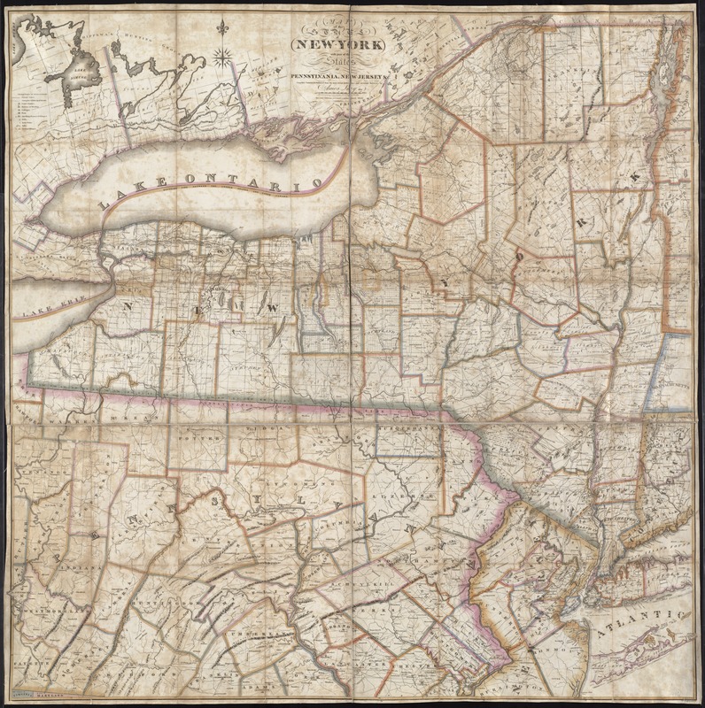
Map of the State of New York with part of the states of Pennsylvania, New Jersey &c
Item Information
- Title:
- Map of the State of New York with part of the states of Pennsylvania, New Jersey &c
- Creator:
- Lay, Amos, 1765-1851
- Name on Item:
-
compiled corrected & published from the most recent authorities and accurate surveys by Amos Lay, 1817.
- Date:
-
1820
- Format:
-
Maps/Atlases
- Location:
-
Boston Public Library
Norman B. Leventhal Map Center - Collection (local):
-
Norman B. Leventhal Map Center Collection
- Subjects:
-
New York (State)--Maps
Pennsylvania--Maps
New Jersey--Maps
Middle Atlantic States--Maps
- Places:
-
Pennsylvania
Middle Atlantic (area)
New York
New Jersey
- Extent:
- 1 map : col. ; 127 x 127 cm.
- Terms of Use:
-
No known copyright restrictions.
No known restrictions on use.
- Publisher:
-
[S.l.] :
A. Lay
- Edition:
- 2nd ed., rev.
- Scale:
-
Scale [1:453, 520]
- Language:
-
English
- Notes:
-
Relief shown pictorially.
Hand colored.
Shows township and military tract boundaries.
Cataloging, conservation, and digitization made possible in part by The National Endowment for the Humanities: Exploring the human endeavor.
- Identifier:
-
06_01_004056
- Call #:
-
G3800 1820 .L39
- Barcode:
-
39999059022515


