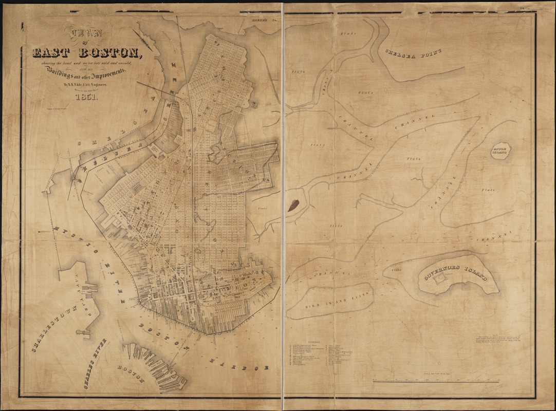
Plan of East Boston showing the land and water lots sold and unsold, also all buildings and other improvements
Item Information
- Title:
- Plan of East Boston showing the land and water lots sold and unsold, also all buildings and other improvements
- Creator:
- Eddy, R. H. (Robert Henry), 1812-1887
- Name on Item:
-
by R.H. Eddy ; drawn by John Noble.
- Date:
-
1851
- Format:
-
Maps/Atlases
- Location:
-
Boston Public Library
Norman B. Leventhal Map Center - Collection (local):
-
Norman B. Leventhal Map Center Collection
- Subjects:
-
Real property--Massachusetts--Boston--Maps
Land tenure--Massachusetts--Boston--Maps
East Boston (Boston, Mass.)--Maps
East Boston (Boston, Mass.)
- Places:
-
Suffolk (county)BostonEast Boston
- Extent:
- 1 map ; 93 x 123 cm.
- Terms of Use:
-
No known copyright restrictions.
No known restrictions on use.
- Publisher:
-
[Boston, Mass.] :
Tappan & Bradford's Lith.
- Scale:
-
Scale 1:4,800.
- Language:
-
English
- Notes:
-
Oriented with north toward the lower right.
Depths shown by hachures.
Includes index to points of interest.
- Identifier:
-
06_01_003887
- Call #:
-
G3764.B6:2E2G46 1851 .E3
- Barcode:
-
39999059002533


