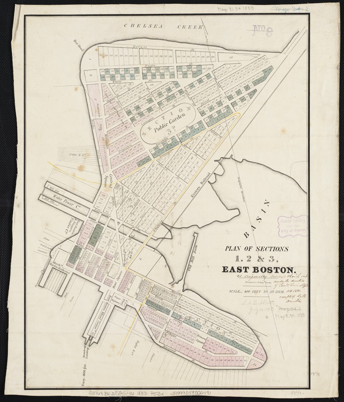
Plan of sections of 1, 2 & 3, East Boston
Item Information
- Title:
- Plan of sections of 1, 2 & 3, East Boston
- Title (alt.):
-
Plan of sections of 1, 2 and 3, East Boston
- Name on Item:
-
[as originally surveyed & laid out under the direction of Sam. G. Lewis' Dept. ND 1833, accepted by the Directors].
- Date:
-
[1833]
- Format:
-
Maps/Atlases
- Location:
-
Boston Public Library
Norman B. Leventhal Map Center - Collection (local):
-
Norman B. Leventhal Map Center Collection
- Subjects:
-
Real property--Massachusetts--Boston--Maps
Land tenure--Massachusetts--Boston--Maps
East Boston (Boston, Mass.)--Maps
East Boston (Boston, Mass.)
- Places:
-
Suffolk (county)BostonEast Boston
- Extent:
- 1 plan : col. ; 47 x 35 cm.
- Terms of Use:
-
No known copyright restrictions.
No known restrictions on use.
- Publisher:
-
Boston, Mass :
Pendleton's Lith.
- Scale:
-
Scale 1:4,800.
- Language:
-
English
- Notes:
-
Oriented with north toward the upper left.
- Notes (date):
-
This date is inferred.
- Identifier:
-
06_01_003874
- Call #:
-
G3764.B6:2E2G46 1833 .P53x
- Barcode:
-
39999059002491


