Plan of East Boston : exhibiting the land & water lots and other improvements
Item Information
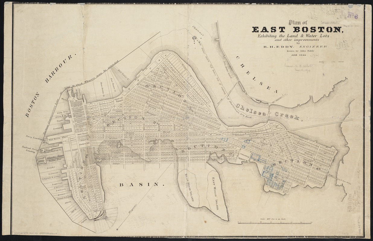
- Title:
- Plan of East Boston : exhibiting the land & water lots and other improvements
- Title (alt.):
-
Plan of East Boston exhibiting the land and water lots and other improvements
- Creator:
- Eddy, R. H. (Robert Henry), 1812-1887
- Name on Item:
-
by R.H. Eddy, engineer ; drawn by John Noble.
- Date:
-
1844
- Format:
-
Maps/Atlases
- Location:
-
Boston Public Library
Norman B. Leventhal Map Center - Collection (local):
-
Norman B. Leventhal Map Center Collection
- Subjects:
-
East Boston (Boston, Mass.)--Maps
- Places:
-
Suffolk (county)BostonEast Boston
- Extent:
- 1 map ; 57 x 68 cm.
- Terms of Use:
-
No known copyright restrictions.
No known restrictions on use.
- Publisher:
-
Boston, Mass :
Bouvé Lith.
- Scale:
-
Scale [1:4,800].
- Language:
-
English
- Notes:
-
Oriented with north toward the upper right.
"June 1844."
- Identifier:
-
06_01_003872
- Call #:
-
G3764.B6:2E2 1844 .E3
- Barcode:
-
39999059002475


