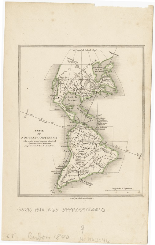
Carte du nouveau continent : selon sa plus grande longueur diametrale depuis la Riviere de la Plata jusqu'au de la du Lac des Assiniboils
Item Information
- Title:
- Carte du nouveau continent : selon sa plus grande longueur diametrale depuis la Riviere de la Plata jusqu'au de la du Lac des Assiniboils
- Creator:
- Robert de Vaugondy, Didier, 1723-1786
- Name on Item:
-
grave par Ambroise Tardieu.
- Date:
-
[1840?]
- Format:
-
Maps/Atlases
- Location:
-
Boston Public Library
Norman B. Leventhal Map Center - Collection (local):
-
Norman B. Leventhal Map Center Collection
- Subjects:
-
Western Hemisphere--Maps
- Places:
-
North and Central America
South America
Mesoamerica (area)
North America (area)
South America
America
- Extent:
- 1 map : col. ; 16 x 14 cm.
- Terms of Use:
-
No known copyright restrictions.
No known restrictions on use.
- Publisher:
-
S.l :
s.n.
- Scale:
-
Scale not given.
- Language:
-
French
- Notes:
-
Relief shown by hachures.
- Identifier:
-
06_01_003803
- Call #:
-
G3290 1840 .R63
- Barcode:
-
39999059002210


