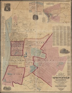
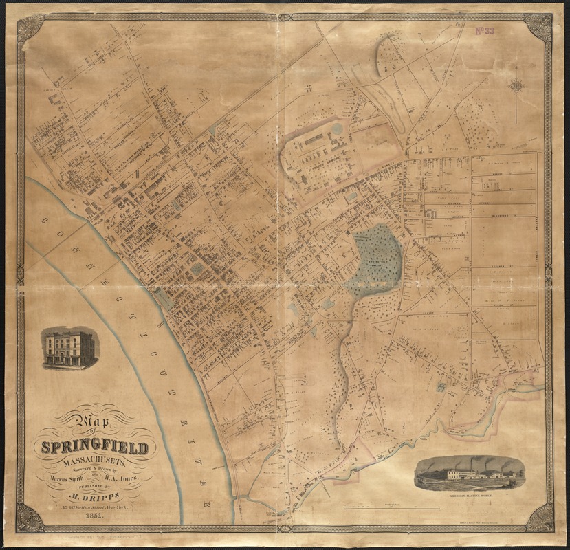
Map of Springfield, Massachusetts
Item Information
- Title:
- Map of Springfield, Massachusetts
- Creator:
- Smith, Marcus, 1815-1904
- Author:
- Jones, H. A.
- Name on Item:
-
surveyed and drawn by Marcus Smith and H.A. Jones.
- Date:
-
1851
- Format:
-
Maps/Atlases
- Location:
-
Boston Public Library
Norman B. Leventhal Map Center - Collection (local):
-
Norman B. Leventhal Map Center Collection
- Subjects:
-
Real property--Massachusetts--Springfield--Maps
Land tenure--Massachusetts--Springfield--Maps
Springfield (Mass.)--Maps
- Places:
-
Hampden (county)Springfield
- Extent:
- 1 map : col. ; 87 x 90 cm.
- Terms of Use:
-
No known copyright restrictions.
No known restrictions on use.
- Publisher:
-
New York :
M. Dripps
- Scale:
-
Scale 1:3,600.
- Language:
-
English
- Notes:
-
Relief shown by hachures.
Includes two vignettes of businesses.
"Lithy of A. Kollner."
- Identifier:
-
06_01_003689
- Call #:
-
G3764.S7 1851 .S65
- Barcode:
-
39999059001717