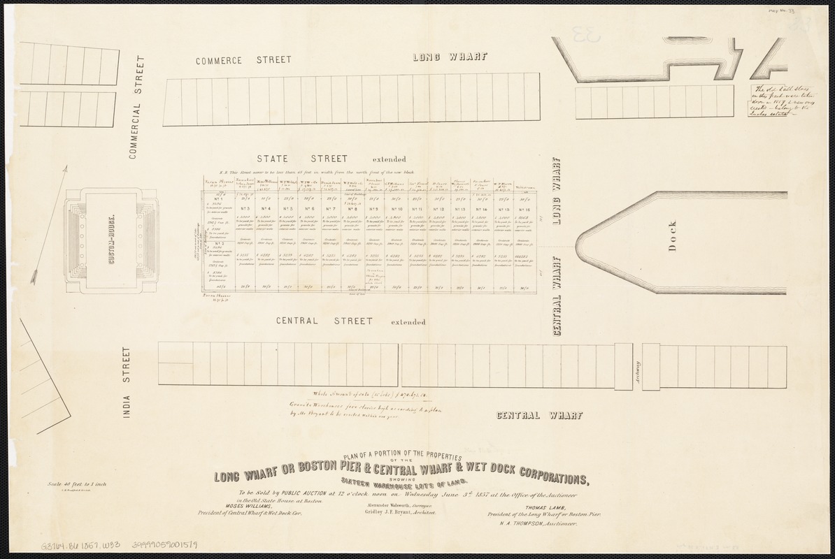
Plan of a portion of the properties of the Long Wharf or Boston Pier & Central Wharf & Wet Dock Corporatins, showing sixteen warehouse lots of land : to be sold at public auction at 12 o'clock noon on Wednesday June 3rd 1857 at the office of the auctioneer
Item Information
- Title:
- Plan of a portion of the properties of the Long Wharf or Boston Pier & Central Wharf & Wet Dock Corporatins, showing sixteen warehouse lots of land : to be sold at public auction at 12 o'clock noon on Wednesday June 3rd 1857 at the office of the auctioneer
- Creator:
- Wadsworth, Alexander, 1806-1898
- Date:
-
[1857]
- Format:
-
Maps/Atlases
- Location:
-
Boston Public Library
Norman B. Leventhal Map Center - Collection (local):
-
Norman B. Leventhal Map Center Collection
- Subjects:
-
N.A. Thompson & Co
Real property--Massachusetts--Boston--Maps
Land tenure--Massachusetts--Boston--Maps
Boston (Mass.)--Maps
Long Wharf (Boston, Mass.)--Maps
- Places:
-
Suffolk (county)Boston
Long Wharf
- Extent:
- 1 plan ; on sheet 44 x 65 cm.
- Terms of Use:
-
No known copyright restrictions.
No known restrictions on use.
- Publisher:
-
Boston, Mass :
Engineering Dept.
- Scale:
-
Scale 1:480.
- Language:
-
English
- Notes:
-
Oriented with north toward the upper right.
"Alexander Wadsworth, surveyor, Gridley J.F. Bryant, architect."
"N.A. Thompson, auctioneer."
"L.H. Bradford & Co's Lith."
- Notes (date):
-
This date is inferred.
- Identifier:
-
06_01_003506
- Call #:
-
G3764.B6 1857 .W33
- Barcode:
-
39999059001519


