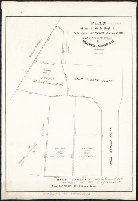
Plan of an estate in High St. to be sold at auction Sat. May 1st 1847 at 12 o'clock on the premises by Whitwell, Seaver & Co. auctioneers
Item Information
- Title:
- Plan of an estate in High St. to be sold at auction Sat. May 1st 1847 at 12 o'clock on the premises by Whitwell, Seaver & Co. auctioneers
- Creator:
- Wadsworth, Alexander, 1806-1898
- Date:
-
1847
- Format:
-
Maps/Atlases
- Location:
-
Boston Public Library
Norman B. Leventhal Map Center - Collection (local):
-
Norman B. Leventhal Map Center Collection
- Subjects:
-
Real property--Massachusetts--Boston--Maps
Land tenure--Massachusetts--Boston--Maps
- Places:
-
Suffolk (county)Boston
- Extent:
- 1 plan ; 46 x 34 cm.
- Terms of Use:
-
No known copyright restrictions.
No known restrictions on use.
- Publisher:
-
Boston, Mass :
[Engineering Dept.?]
- Scale:
-
Scale 1:120.
- Language:
-
English
- Notes:
-
Oriented with north toward the upper right.
"Bufford & Co. lith."
"Boston April 19th 1847."
- Identifier:
-
06_01_003504
- Call #:
-
G3764.B6 1847 .W33
- Barcode:
-
39999059001493


