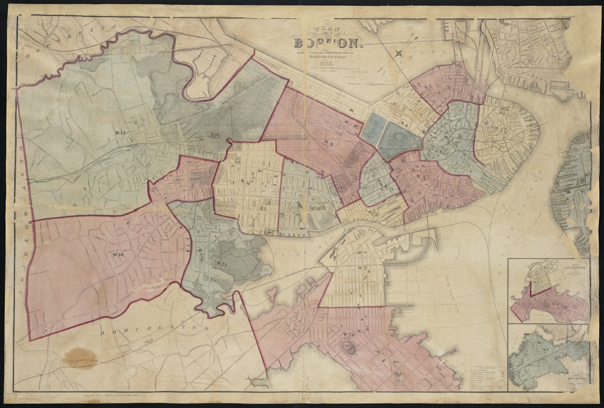
Plan of Boston
Item Information
- Title:
- Plan of Boston
- Creator:
- Boston (Mass.). Engineering Dept
- Name on Item:
-
with additions and corrections made by N. Henry Crafts.
- Date:
-
1868
- Format:
-
Maps/Atlases
- Location:
-
Boston Public Library
Norman B. Leventhal Map Center - Collection (local):
-
Norman B. Leventhal Map Center Collection
- Subjects:
-
Boston (Mass.)--Administrative and political divisions--Maps
- Places:
-
Suffolk (county)Boston
- Extent:
- 1 map : hand col. ; 84 x 130 cm.
- Terms of Use:
-
No known copyright restrictions.
No known restrictions on use.
- Publisher:
-
[Boston, Mass.] :
A. Meisel, lith.
- Scale:
-
Scale [1:6,000]. 1 inch to 500 feet.
- Language:
-
English
- Notes:
-
Shows wards, streets, railroads and radial distances from City Hall.
Oriented with north toward the upper right.
Relief shown by hachures.
Insets: Plan of South Boston -- Plan of East Boston.
- Identifier:
-
06_01_003487
- Call #:
-
G3764.B6 1868 .B677x
- Barcode:
-
39999059001352


