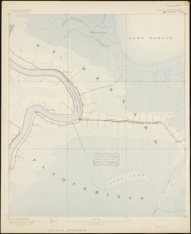
Louisiana : Saint Bernard sheet
Item Information
- Title:
- Louisiana : Saint Bernard sheet
- Title (alt.):
-
Saint Bernard sheet
St. Bernard sheet
- Creator:
- Geological Survey (U.S.)
- Date:
-
[1892]
- Format:
-
Maps/Atlases
- Location:
-
Boston Public Library
Norman B. Leventhal Map Center - Collection (local):
-
Norman B. Leventhal Map Center Collection
- Subjects:
-
Louisiana--Maps
Saint Bernard Parish (La.)--Maps
- Places:
-
Saint Bernard (county)
- Extent:
- 1 map : col. ; on sheet 51 x 42 cm.
- Terms of Use:
-
No known copyright restrictions.
No known restrictions on use.
- Publisher:
-
Washington, D.C :
U.S. Geological Survey
- Edition:
- Edition of Mar. 1892.
- Scale:
-
Scale 1:62,500
- Language:
-
English
- Notes:
-
Relief shown by contours, isolines and spot heights.
Surveyed in 1890.
Contour interval 5 feet.
Henry Gannett, chief topographer; R.U. Goode, geographer in charge; triangulation by U.S. Coast and Geodetic Survey; topography by A.B. Searle and L.J. Battle under direction of H.L. Baldwin Jr.
- Notes (date):
-
This date is inferred.
- Identifier:
-
06_01_003403
- Call #:
-
G4010 s62 .U5
- Barcode:
-
39999059000818


