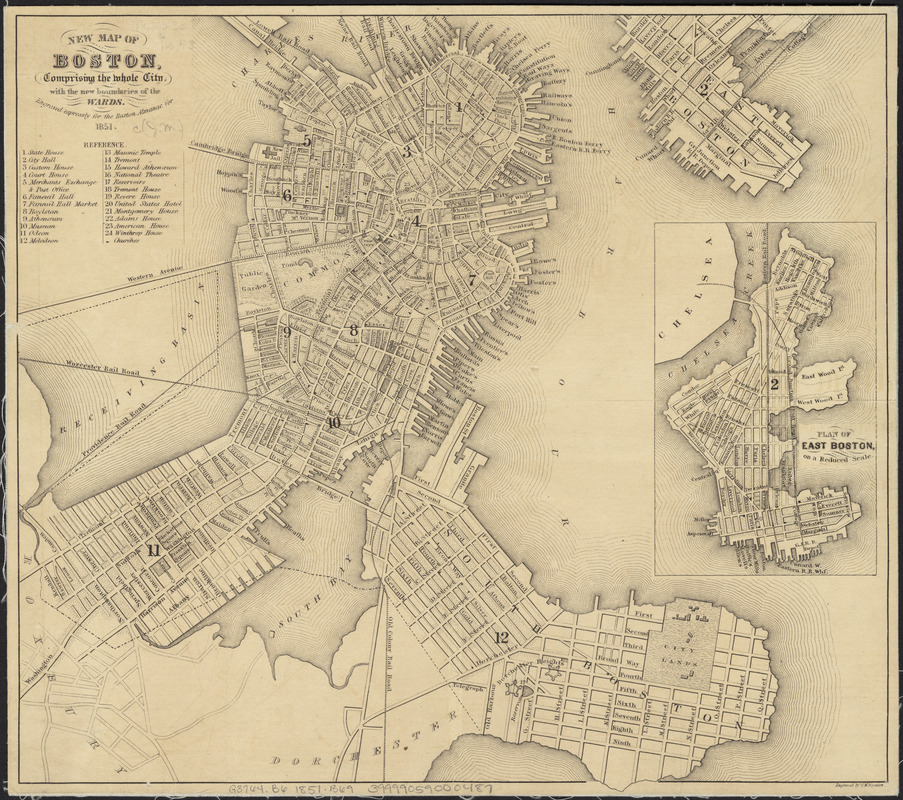
New map of Boston, comprising the whole city, with the new boundaries of the wards
Item Information
- Title:
- New map of Boston, comprising the whole city, with the new boundaries of the wards
- Creator:
- Boynton, George W., d. 1884
- Name on Item:
-
engraved expressly for the Boston Almanac for 1851 ; engraved by G.W. Boynton.
- Date:
-
1851
- Format:
-
Maps/Atlases
- Location:
-
Boston Public Library
Norman B. Leventhal Map Center - Collection (local):
-
Norman B. Leventhal Map Center Collection
- Subjects:
-
Fortification--Massachusetts--Boston--Maps
Boston (Mass.)--Maps
- Places:
-
Suffolk (county)Boston
- Extent:
- 1 map ; 24 x 28 cm.
- Terms of Use:
-
No known copyright restrictions.
No known restrictions on use.
- Publisher:
-
Boston, Mass :
[s.n.]
- Scale:
-
Scale not given.
- Language:
-
English
- Notes:
-
Includes index to points of interest.
Inset: Plan of East Boston on a reduced scale.
- Call #:
-
G3764.B6 1851 .B69
- Barcode:
-
39999059000487
39999059000495


