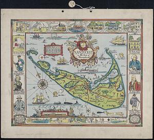
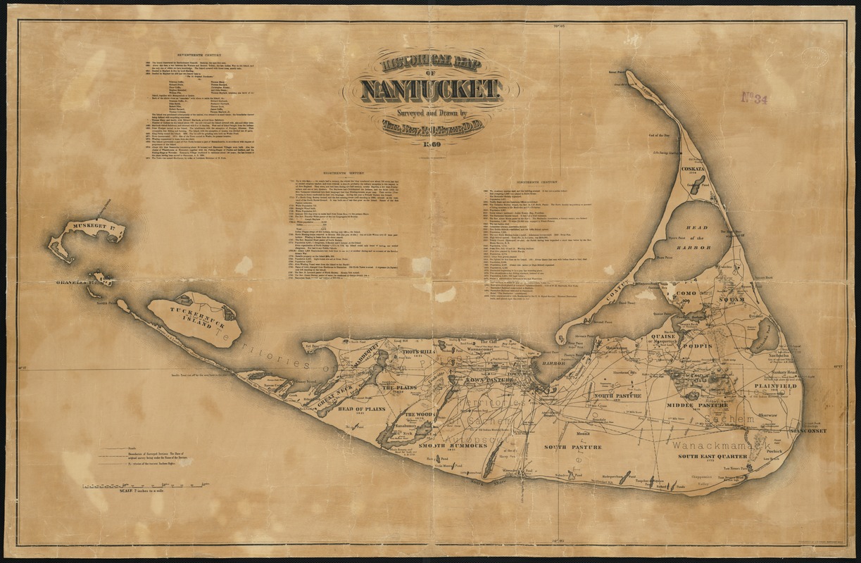
Historical map of Nantucket
Item Information
- Title:
- Historical map of Nantucket
- Creator:
- Ewer, Ferdinand C. (Ferdinand Cartwright), 1826-1883
- Name on Item:
-
surveyed and drawn by F.C. Ewer.
- Date:
-
1869
- Format:
-
Maps/Atlases
- Location:
-
Boston Public Library
Norman B. Leventhal Map Center - Collection (local):
-
Norman B. Leventhal Map Center Collection
- Subjects:
-
Nantucket (Mass.)--Maps
Nantucket Island (Mass.)--Maps
- Places:
-
MassachusettsNantucket (county)Nantucket Island (island)Nantucket
- Extent:
- 1 map ; 66 x 104 cm.
- Terms of Use:
-
No known copyright restrictions.
No known restrictions on use.
- Publisher:
-
Nantucket, Mass :
J.B. Swain
- Scale:
-
Scale 1:31,680.
- Language:
-
English
- Notes:
-
Relief shown by hachures.
Includes historical texts.
- Identifier:
-
06_01_003250
- Call #:
-
G3762.N3 1869 .E9
- Barcode:
-
39999058999762