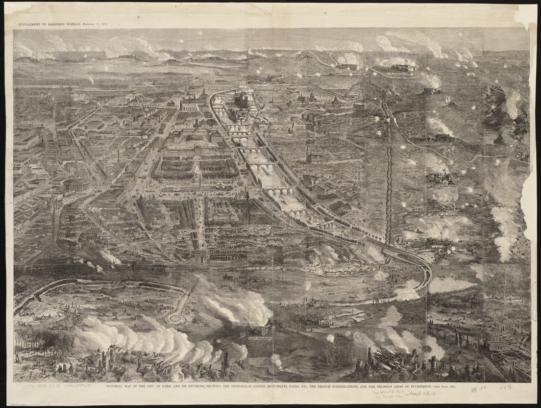
Pictorial map of the city of Paris and its environs, showing the principal buildings, monuments, parks etc., the French fortifications, and the Prussian lines of investment
Item Information
- Title:
- Pictorial map of the city of Paris and its environs, showing the principal buildings, monuments, parks etc., the French fortifications, and the Prussian lines of investment
- Date:
-
[1871]
- Format:
-
Maps/Atlases
- Location:
-
Boston Public Library
Norman B. Leventhal Map Center - Collection (local):
-
Norman B. Leventhal Map Center Collection
- Subjects:
-
Paris (France)--Aerial views
- Places:
-
FranceÎle-de-France (region)Paris
- Extent:
- 1 view ; 52 x 75 cm.
- Terms of Use:
-
No known copyright restrictions.
No known restrictions on use.
- Publisher:
-
New York :
Harper & Brothers
- Scale:
-
Not drawn to scale.
- Language:
-
English
- Notes:
-
Bird's-eye view.
"Supplement to Harper's Weekly, February 11, 1871."
- Notes (date):
-
This date is inferred.
- Identifier:
-
06_01_003242
- Call #:
-
G5834.P3A3 1871 .P5
- Barcode:
-
39999058999689


