Topographical map of Middlesex Fells Reservation
Item Information
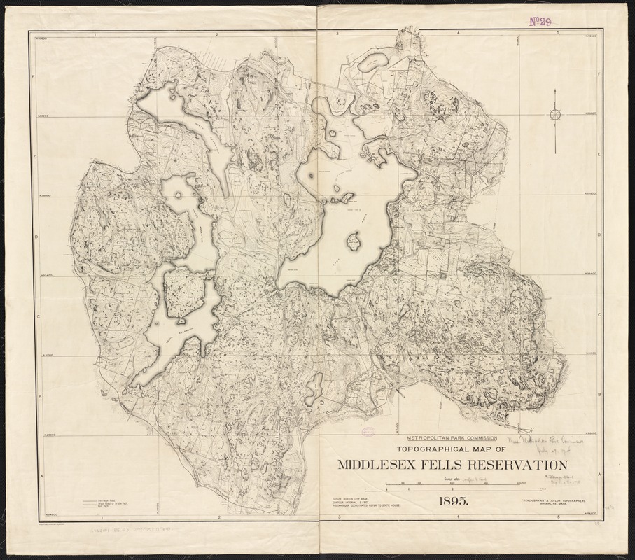
- Title:
- Topographical map of Middlesex Fells Reservation
- Creator:
- Massachusetts. Metropolitan Park Commission
- Date:
-
1895
- Format:
-
Maps/Atlases
- Location:
-
Boston Public Library
Norman B. Leventhal Map Center - Collection (local):
-
Norman B. Leventhal Map Center Collection
- Subjects:
-
Middlesex Fells Reservation (Mass.)--Maps, Topographic
- Places:
-
Middlesex (county)Middlesex Fells (area)
- Extent:
- 1 map ; 74 x 85 cm.
- Terms of Use:
-
No known copyright restrictions.
No known restrictions on use.
- Publisher:
-
Boston, Mass :
Massachusetts Metropolitan Park Commission
- Scale:
-
Scale 1:6,000.
- Language:
-
English
- Notes:
-
Relief shown by contours and spot heights.
"French, Bryant & Taylor, Topographers, Brookline, Mass."
- Identifier:
-
06_01_003237
- Call #:
-
G3762.M4 1895 .M3
- Barcode:
-
39999058999648


