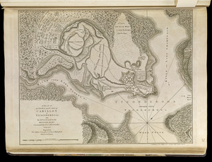
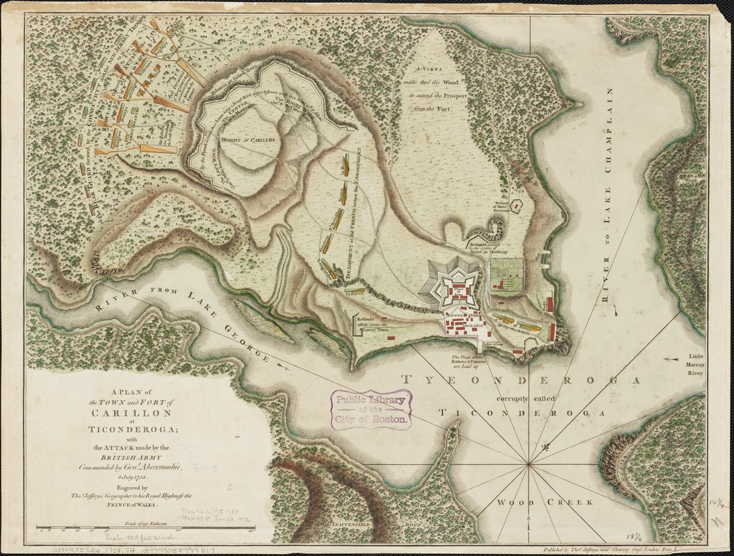
A plan of the town and Fort of Carillon at Ticonderoga : with the attack made by the British army commanded by Genl. Abercrombie, 8 July 1758
This map is also available in American Revolutionary Geographies Online (ARGO), a collections portal especially built for material relating to the American Revolutionary War Era. Visit ARGO to learn more about this item and explore the historical geography of North America in the late eighteenth century.
Item Information
- Title:
- A plan of the town and Fort of Carillon at Ticonderoga : with the attack made by the British army commanded by Genl. Abercrombie, 8 July 1758
- Creator:
- Jefferys, Thomas, -1771
- Name on Item:
-
engraved by Thos. Jefferys.
- Date:
-
[1758]
- Format:
-
Maps/Atlases
- Location:
-
Boston Public Library
Norman B. Leventhal Map Center - Collection (local):
-
Norman B. Leventhal Map Center Collection
- Subjects:
-
Fortification--New York (State)--Ticonderoga--Maps--Early works to 1800
Ticonderoga, Battle of, N.Y., 1758--Maps--Early works to 1800
New York (State)--History--French and Indian War, 1754-1763--Maps--Early works to 1800
Fort Ticonderoga (N.Y.)--History--French and Indian War, 1755-1763--Maps--Early works to 1800
- Places:
-
Essex (county)Ticonderoga
- Extent:
- 1 map : hand col. ; 37 x 48 cm.
- Terms of Use:
-
No known copyright restrictions.
No known restrictions on use.
- Publisher:
-
London :
Thos. Jefferys
- Scale:
-
Scale [ca. 1:1,823]
- Language:
-
English
- Notes:
-
Relief shown by hachures.
Oriented with north toward the right.
- Notes (date):
-
This date is inferred.
- Identifier:
-
06_01_003200
- Call #:
-
G3804.F5S26 1758 .J4
- Barcode:
-
39999058999317