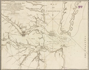
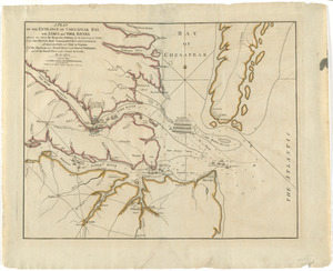
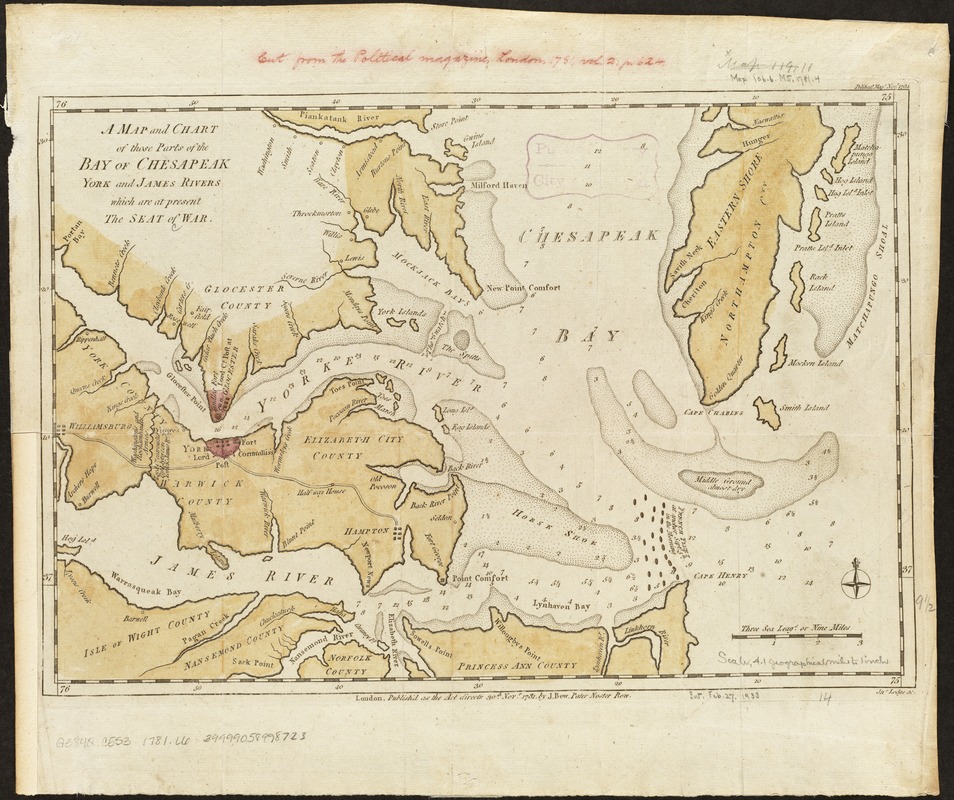
A map and chart of those parts of the Bay of Chesapeak, York and James Rivers which are at present the seat of war
This map is also available in American Revolutionary Geographies Online (ARGO), a collections portal especially built for material relating to the American Revolutionary War Era. Visit ARGO to learn more about this item and explore the historical geography of North America in the late eighteenth century.
Item Information
- Title:
- A map and chart of those parts of the Bay of Chesapeak, York and James Rivers which are at present the seat of war
- Creator:
- Lodge, John, d. 1796
- Name on Item:
-
Jno. Lodge, sc.
- Date:
-
1781
- Format:
-
Maps/Atlases
- Location:
-
Boston Public Library
Norman B. Leventhal Map Center - Collection (local):
-
Norman B. Leventhal Map Center Collection
- Subjects:
-
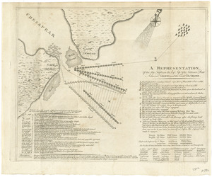
Fortification--Virginia--Maps--Early works to 1800
Fortification--Maryland--Maps--Early works to 1800
Chesapeake Bay (Md. and Va.)--History--18th century--Maps--Early works to 1800
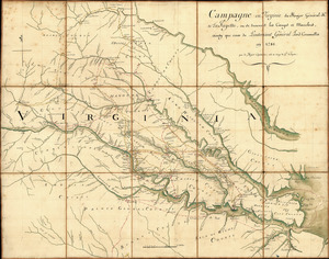
Virginia--History--Revolution, 1775-1783--Maps--Early works to 1800
James River (Va.)--History--18th century--Maps--Early works to 1800
York River (Va.)--History--18th century--Maps--Early works to 1800
- Places:
-
York (river)
James (river)
Chesapeake Bay
- Extent:
- 1 map : col. ; 24 x 36 cm.
- Terms of Use:
-
No known copyright restrictions.
No known restrictions on use.
- Publisher:
-
London :
J. Bew
- Scale:
-
Scale [ca. 1:263,350]
- Language:
-
English
- Notes:
-
Depth shown by soundings.
Appears in The Political Magazine, London, 1781, vol. 2, p.624.
In upper right corner: "Political Mage. Novr. 1781."
- Identifier:
-
06_01_003126
- Call #:
-
G3842.C5S3 1781 .L6
- Barcode:
-
39999058998723