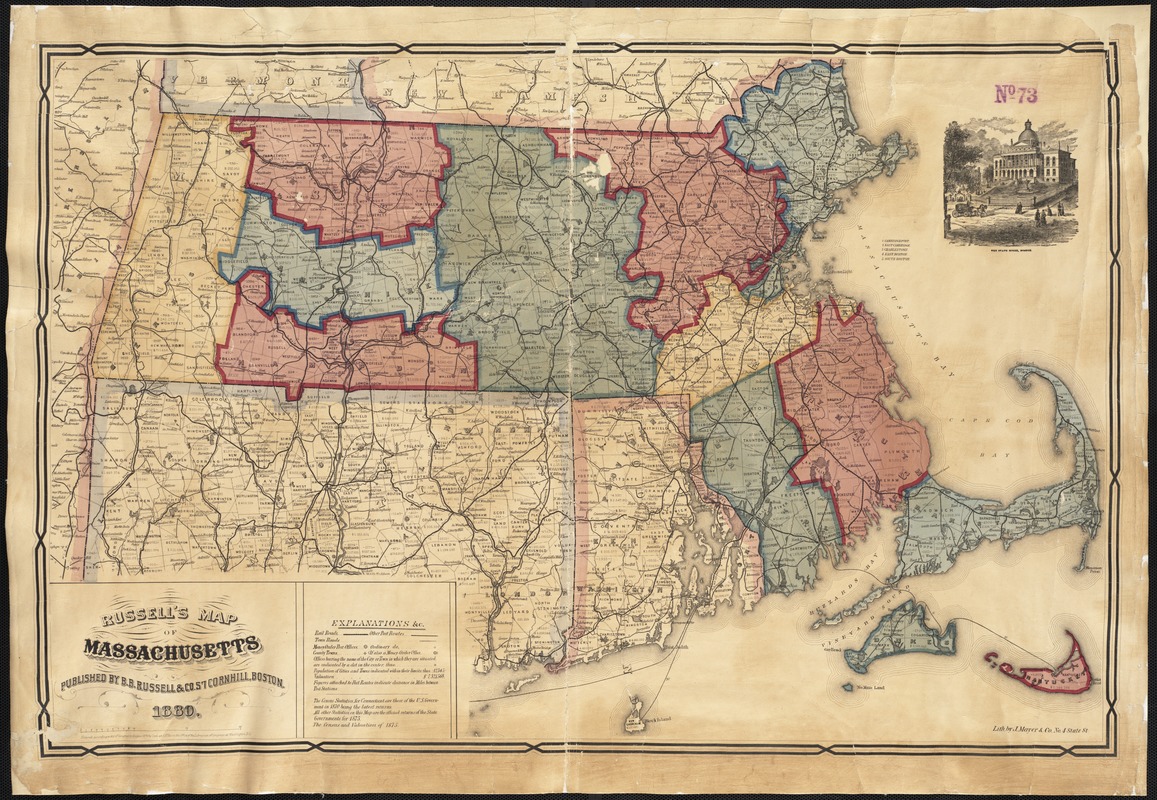
Russell's map of Massachusetts
Item Information
- Title:
- Russell's map of Massachusetts
- Creator:
- B.B. Russell & Co
- Date:
-
1880
- Format:
-
Maps/Atlases
- Location:
-
Boston Public Library
Norman B. Leventhal Map Center - Collection (local):
-
Norman B. Leventhal Map Center Collection
- Subjects:
-
Massachusetts--Maps
- Places:
-
Massachusetts
- Extent:
- 1 map : col. ; 52 x 79 cm.
- Terms of Use:
-
No known copyright restrictions.
No known restrictions on use.
- Publisher:
-
Boston, Mass :
B.B. Russell & Co.
- Scale:
-
Scale [ca. 1:396,000]
- Language:
-
English
- Notes:
-
Includes index and vignette of the State House, Boston.
Lith by J. Mayer & Co.
"Entered according to Act of Congress in the year 1876 by Cook and Ellis in the Office of the Librarian of Congress at Washington, D.C."
- Identifier:
-
06_01_002617
- Call #:
-
G3760 1880 .R8
- Barcode:
-
39999058996115


