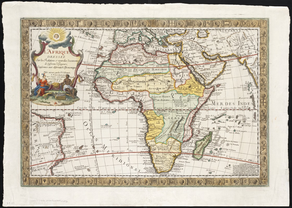
L'Afrique : dressée sur les relations e nouvelles decouvertes de differens voyageurs, conformes aux observations astronomiques
Item Information
- Title:
- L'Afrique : dressée sur les relations e nouvelles decouvertes de differens voyageurs, conformes aux observations astronomiques
- Name on Item:
-
mise aujour par le Sr. G. Danet.
- Date:
-
1750
- Format:
-
Maps/Atlases
- Location:
-
Boston Public Library
Norman B. Leventhal Map Center - Collection (local):
-
Norman B. Leventhal Map Center Collection
- Subjects:
-
Africa--Maps--Early works to 1800
- Places:
-
Africa
- Extent:
- 1 map : col. ; 44 x 66 cm.
- Terms of Use:
-
No known copyright restrictions.
No known restrictions on use.
- Publisher:
-
Paris :
Chez Desbois ... rue S. Jacques a la Sphere Royale
- Scale:
-
Scale not given.
- Language:
-
French
- Notes:
-
Relief shown pictorially.
Contains decorative border and cartouche.
- Identifier:
-
06_01_002560
- Call #:
-
G8200 1750 .D36
- Barcode:
-
39999058995653


