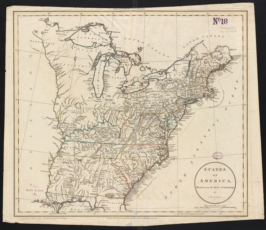
States of America, drawn from the best authorities
This map is also available in American Revolutionary Geographies Online (ARGO), a collections portal especially built for material relating to the American Revolutionary War Era. Visit ARGO to learn more about this item and explore the historical geography of North America in the late eighteenth century.
Item Information
- Title:
- States of America, drawn from the best authorities
- Creator:
- Russell, John, fl. 1733-1795
- Name on Item:
-
by J. Russell.
- Date:
-
1799
- Format:
-
Maps/Atlases
- Location:
-
Boston Public Library
Norman B. Leventhal Map Center - Collection (local):
-
Norman B. Leventhal Map Center Collection
- Subjects:
-
United States--Maps--Early works to 1800
- Places:
-
- Extent:
- 1 map : col. ; 38 x 44 cm.
- Terms of Use:
-
No known copyright restrictions.
No known restrictions on use.
- Publisher:
-
London :
C. Dilly & G.G. & J. Robinson
- Scale:
-
Scale [ca. 1:6,000,000]
- Language:
-
English
- Notes:
-
Relief shown pictorially.
Hand-colored.
"Engraved for Guthries new System of Geography."
Depicts states east of the Mississippi River, north to Canada and south to northern Florida.
- Identifier:
-
06_01_002451
- Call #:
-
G3700 1799 .R9
- Barcode:
-
39999058994912


