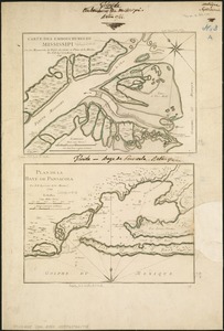
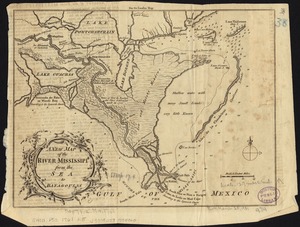
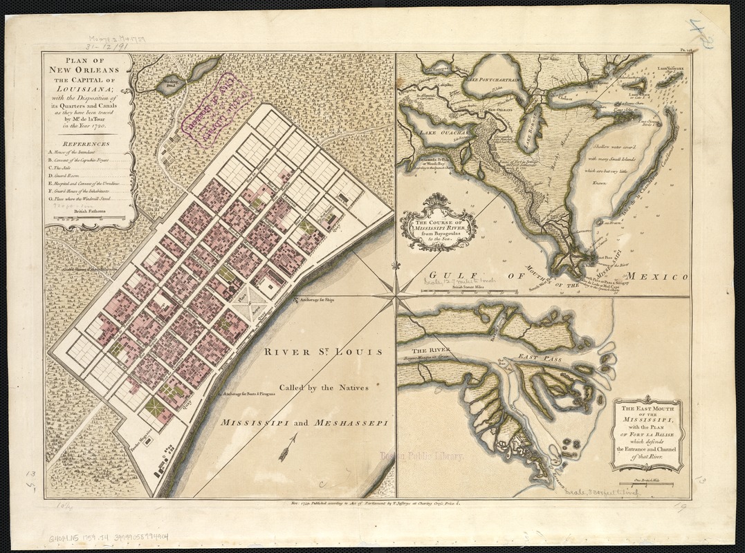
Plan of New Orleans the capital of Louisiana : with the disposition of its quarters and canals as they have been traced by Mr. de la Tour in the year 1720
This map is also available in American Revolutionary Geographies Online (ARGO), a collections portal especially built for material relating to the American Revolutionary War Era. Visit ARGO to learn more about this item and explore the historical geography of North America in the late eighteenth century.
Item Information
- Title:
- Plan of New Orleans the capital of Louisiana : with the disposition of its quarters and canals as they have been traced by Mr. de la Tour in the year 1720
- Creator:
- Jefferys, Thomas, d. 1771
- Date:
-
1759
- Format:
-
Maps/Atlases
- Location:
-
Boston Public Library
Norman B. Leventhal Map Center - Collection (local):
-
Norman B. Leventhal Map Center Collection
- Subjects:
-
New Orleans (La.)--Maps--Early works to 1800
Mississippi River Delta (La.)--Maps--Early works to 1800
Balize (La.)--Maps--Early works to 1800
- Places:
-
Mississippi River
Orleans (county)New Orleans
Plaquemines (county)Balize
- Extent:
- 1 map : hand col. 34 x 49 cm.
- Terms of Use:
-
No known copyright restrictions.
No known restrictions on use.
- Publisher:
-
[London] :
T. Jefferys
- Scale:
-
Scale [ca. 1:5,200]
- Language:
-
English
- Notes:
-
In upper right: Pa. 148.
Insets: The course of Mississipi River, from Bayagoulas to the sea [ca. 1:800,000] -- The east mouth of the Mississipi, with the plan of Fort la Balise which defends the entrance and channel of that river [ca. 1:40,000].
Includes references.
- Identifier:
-
06_01_002450
- Call #:
-
G4014.N5 1759 .J4
- Barcode:
-
39999058994904