Map of Boston and its vicinity : from actual surveys
Item Information
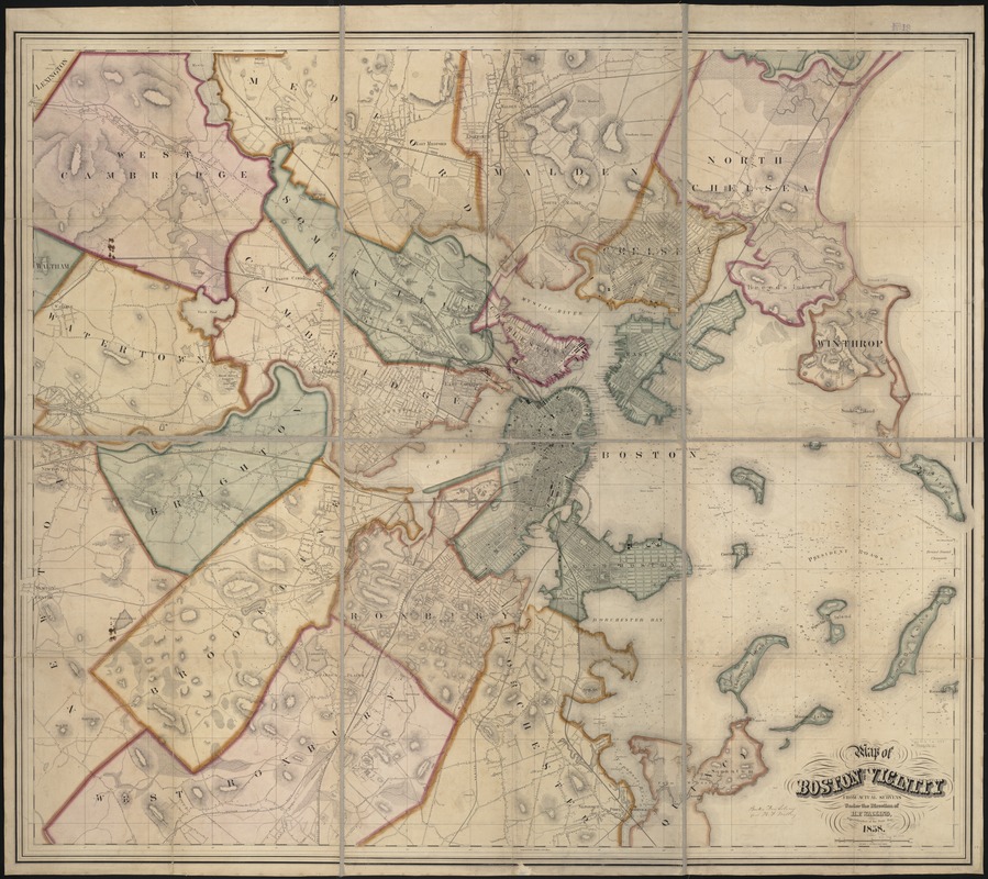
- Title:
- Map of Boston and its vicinity : from actual surveys
- Creator:
- Walling, Henry Francis, 1825-1888
- Name on Item:
-
under the direction of H.F. Walling.
- Date:
-
1858
- Format:
-
Maps/Atlases
- Location:
-
Boston Public Library
Norman B. Leventhal Map Center - Collection (local):
-
Norman B. Leventhal Map Center Collection
- Subjects:
-
Boston (Mass.)--Maps
- Places:
-
Suffolk (county)Boston
- Extent:
- 1 map : col. ; 135 x 155 cm., sheets 74 x 57 cm.
- Terms of Use:
-
No known copyright restrictions.
No known restrictions on use.
- Publisher:
-
S.l :
[s.n.]
- Scale:
-
Scale ca. 1:12,700.
- Language:
-
English
- Notes:
-
Relief shown by hachures.
Depths shown by soundings.
- Identifier:
-
06_01_000889
- Call #:
-
G3764.B6 1858 .W35
- Barcode:
-
39999058989060


